|
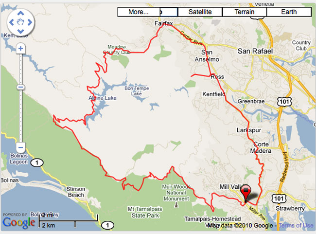
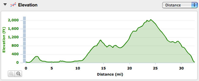
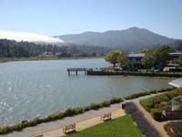
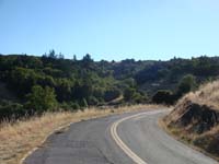
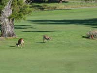
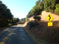
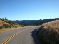
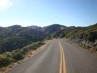
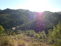
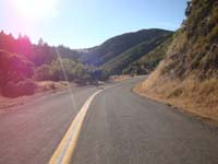
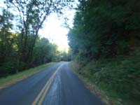
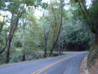
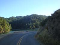
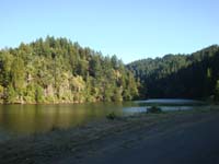
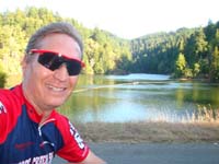
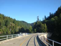
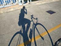
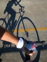
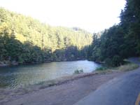
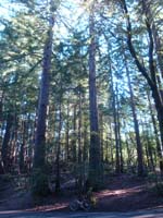
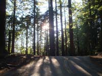
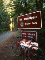
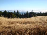
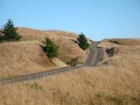
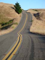
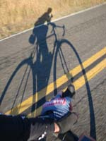
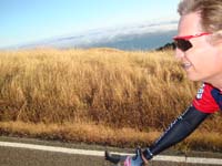
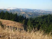
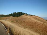
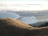
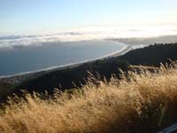
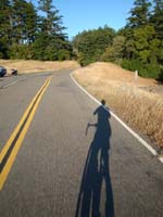
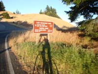
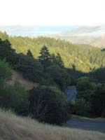
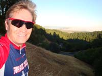
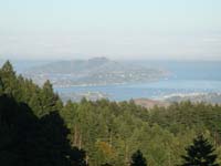
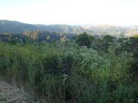
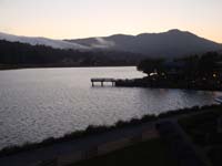
AdventureCORPS Presents the Rough Riders Rally Thes are photos from a recon ride of the route some will be riding in the July 23-25 Rough Riders Rally, specifically on Friday, July 23. This whole route is a paved ride and absolutely fantastic, truly one of the best rides anywhere in the world. Though it's only 31 miles, it took me almost three hours and will take some people four hours. Total elevation gain is 3500 feet. Full routing details, including an interactive map, elevation profiles, and much more, are available on our Garmin Connect page here. NOTE: All cycling is optional and is held on open, public roads and trails. All traffic and safety laws, and trail regulations, must be obeyed. All cycling is done at one's own risk. All cycling will be done as if on a personal ride. Rides will not be timed, results will not be posted, we will not be racing, and common sense and road/trail etiquette will rule the day. Registration for the Rally includes participation in the social events, meals, bike show, and goodie bags contents. ALL RIDING IS OPTIONAL, not supported, and entirely self-guided.
|
|||||||||||||||||||||||||||||||||||||||||
 |
 |